$6.39
$7.99
50% OFF! Hot items selling fast—Grab them before they're gone!
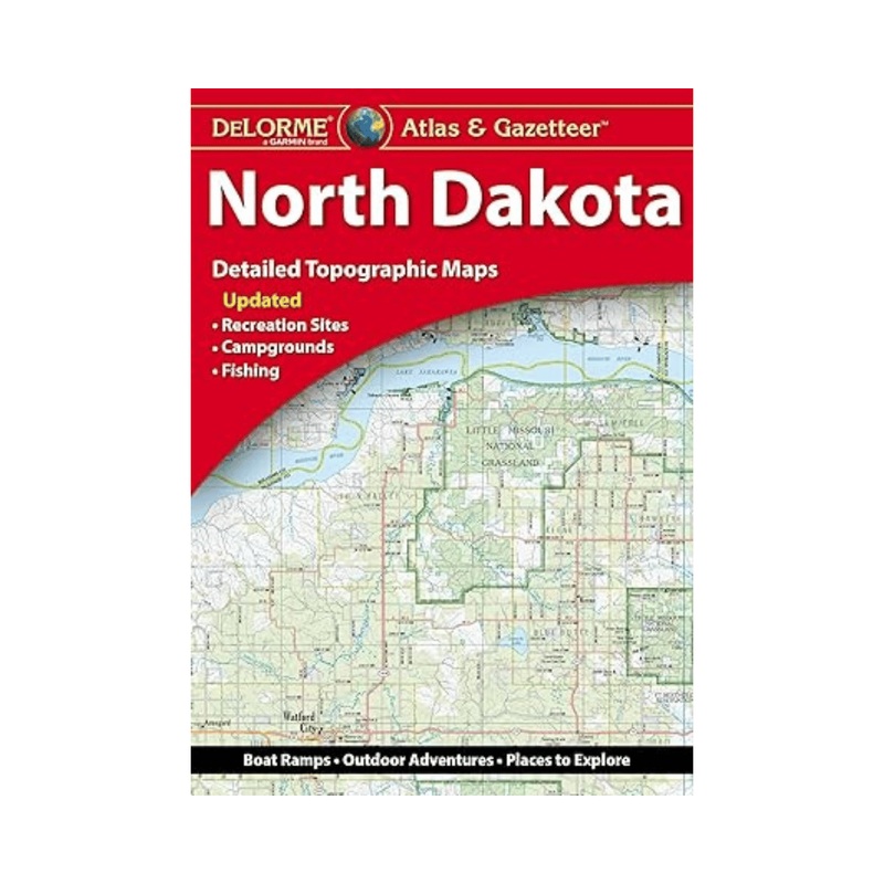
Explore the beauty and wide-open spaces of North Dakota with the DeLorme Atlas & Gazetteer, your ultimate travel and outdoor companion. Featuring full-color topographic maps packed with detail, this atlas helps you find everything from small towns to scenic routes, historic landmarks, and hidden outdoor gems across the state.
Detailed Exploration Discover cities, towns, scenic drives, ranches, buttes, historic sites, and recreation areas all in one place.
Outdoor Adventure Ready Locate trailheads, boat ramps, and prime fishing spots for your next camping, hiking, or fishing trip.
Easy to Use Each page includes a latitude/longitude grid, making it simple to navigate using your GPS or compass.
Comprehensive & Indexed Every map is extensively indexed and organized for quick reference, so you can find locations fast.
Built for Travelers Convenient book format makes it easy to carry, read, and plan your trip on the go.
City & State Coverage Includes inset maps for major cities and state lands for complete coverage.
State: North Dakota
Pages: Full-color topographic maps
Dimensions: 15.5″ 11″
Indexed: Yes
GPS-Compatible: Latitude/Longitude grid overlay
Available: For all 50 U.S. states